
Germany - Rhine Valley
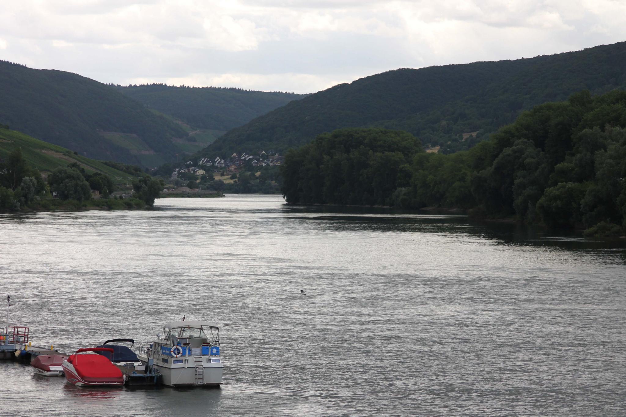 The Rhine is the second longest European river, some 760 miles (1,230km) long, however it’s the 40 mile (65km) stretch between Rüdesheim and Koblenz which attracts the most visitors.
Such is its uniqueness and importance the area was declared a UNESCO World Heritage Site in 2002.
The route can be explored by car or boat and both give a different perspective of the river.
If driving there are roads running along both the west and east banks of the river. The only bridge crossings along this stretch are at the top in Koblenz, however there are many vehicle ferries if you wish to cross further south.
As to which side you drive up that’s a difficult choice. If you have a choice driving from the south then I suggest driving from Rüdesheim to Lorelei on the east bank, then double back on yourself to Lorch and cross the river by ferry and continue north on the west bank.
If you only have time to drive on one side of the river then the west bank has more towns to visit.
The ferries generally operate as shuttle services and cost around €5.90 a crossing for a car and two passengers.
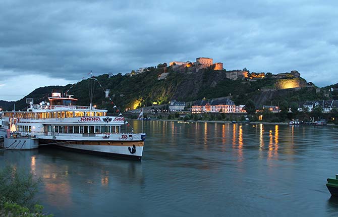 To explore this section by boat there are two options. The first involves judicious use of ferry time tables to hop on and off along the route – should you end up getting “stranded” using this method there are also railway lines running along both sides of the river.
The best way to see the river from a boat is to take the Nostalgia tour, which operates daily from April to October. This is a return trip from Koblenz to Rüdesheim on a 102 year old paddle steamer the GOETHE.
The trip to Rüdesheim takes 6¼ hours where it stops for an hour* before the 4 hour journey back (the difference in time is due to the flow of the river). You can sit on the outer deck taking in the views or if it’s chilly sit in one of the lounges with large windows.
There are a couple of restaurants on board, serving good food at a reasonable price. The cost of this 11 hour trip is just €48.00 - €60.00 per person.
(* although the stopover in Rüdesheim is officially one hour, in reality you only get around 40 minutes ashore, as you have to allow time to disembark and re-board the vessel)
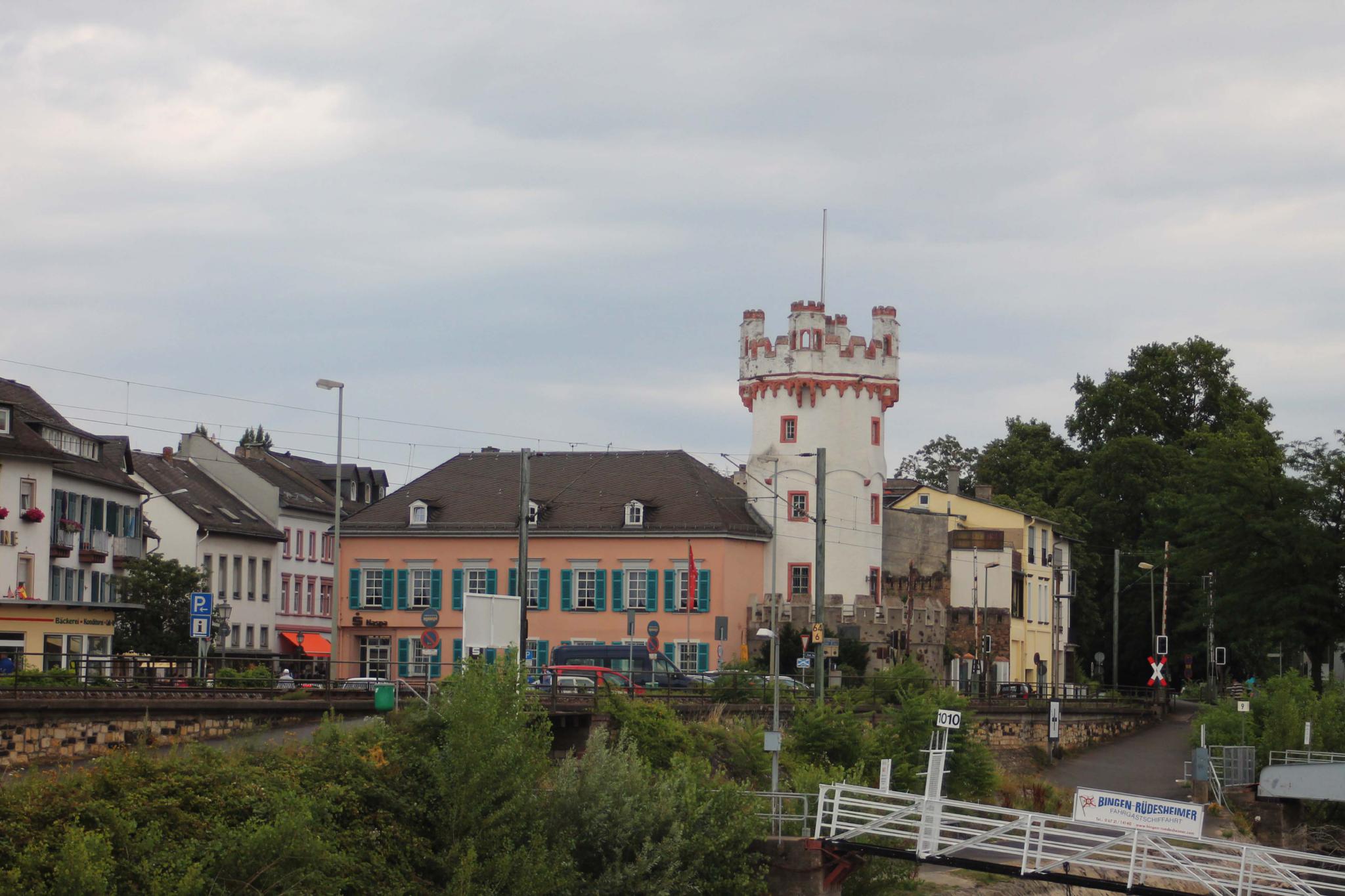 Rüdesheim (east bank) is Germany’s second most popular attraction for overseas visitors (only Cologne cathedral attracts more). Visitors come partly for the wine, partly for the old town itself but the principal attraction is the hiking and scenery, not forgetting the river itself.
If you can’t face the hike up the hills there is even a cable car running to whisk you to the top so you don’t miss out on the stunning views.
The next town of note is also on the east bank of the river and keen walkers / hikers will often make the journey from Rüdesheim to Assmannshausen. The vinyards here, unusually for Germany, produce red wine described as being similar to a French Burgundy. The town also has a spa.
Lorch (east bank) has a strong military connection and after WWI it was the “capital” of a neutral buffer zone, consisting of the unoccupied territories. The town has had a military connection long since and was a garrison town until 1993.
Very much a catholic town the town is dominated by the pink cathedral of St Martin, which dates back to the 14th century.
There is a car ferry crossing point in the town, with the crossing taking about 10 minutes.
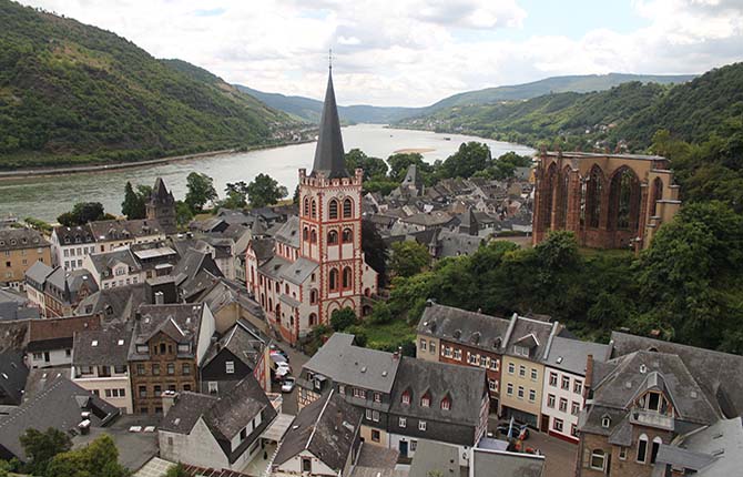 Crossing over to the west bank we come to the first of the “must see” towns along the route, Bacharach. Separated from the Rhine by a town wall the town is populated by half timber houses.
The town is overlooked by Stahlberg Castle, one of the most well known and most photographed castles which features when you see views of this part of the Rhine. If you’ve ever owned a jigsaw of a Rhine castle, it’s a fair baet it could be of Stahlberg. Of more historic note is Wernerkapelle, a Gothic ruin, said to be the best example of Gothic architecture in the region.
The most visible building in the town is the church of St Peter, another pink church.
The town is surrounded by steep hills covered in vinyards and on the side of one of the hills is a viewing tower. It’s a bit of a trek to get there, then you have plenty of stairs to climb but, trust me, the view is worth it as you get a birds eye view of the town and the river.
When you’ve completed the climb stroll back into town and recover at one of the many street café’s or restaurants.
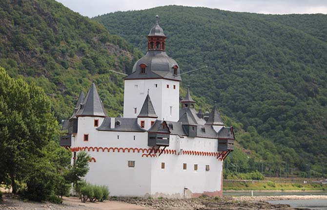 Kaub (east bank) would probably be the sort of town you wouldn’t give a second glance if it were not for Castle Pfalz, which has the distinction of being the only “castle” in the middle of the river.
In truth it never has been a castle – it was built as a toll house to extract tolls from passing cargo vessels, although that hasn’t prevented legends being built around it involving imprisoned countesses.
The town’s real castle is fairly nondescript in comparison with the others and it sits on a hill overlooking the river.
There is a car ferry crossing here.
Oberwesel (west bank) is overlooked by another of the famous Rhine castles, Schönburg, although this is a castle which tends to blend in with the background rather than dominate. A former Imperial castle part of the castle is now a hotel – probably more interesting than a Travelodge.
Architecturally the town is dominated by the Church of Our Lady, yet another pink building, dating back to the 14th century. It’s unusual in it has no central aisle.
The 12th century town wall is still in excellent condition.
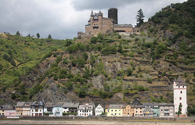 Most of the towns so far have been staggered but the towns of St Goarshausen (east) and Sankt Goar (west) sit on opposite banks of the river – they could easily be a single town but both are fiercely independent. The towns are more or less mid-way in the UNESCO area and, in truth are pretty non-descript. They have some nicely painted houses to look at but that’s about all.
A car ferry links the two towns and over the years there have been several proposals to build a bridge between the two but these have come to nothing.
Something worth seeing is a few miles north on the east bank, the Lorelei. Basically it’s a 120m high rock forcing the river into its narrowest point in the section between Switzerland and The Netherlands. The rock is names after a water spirit and is a popular destination – atop the rock is a stage where concerts are staged.
Carrying on north we come to the next of the big towns, again on the west bank, Boppard. There has been a settlement here for some 13,000 years, although the oldest remains go back to Roman times.
For those getting fed up with pink the largest church in town is white in colour.
Flowers abound along the banks of the river and the number of hotels in the towns attests to its popularity with tourists. Indeed finding a parking space in town can be tricky.
There are plenty of half-timbered houses in the town and are worth viewing – just stroll round and see what takes your fancy.
Shortly after Boppard the river takes one of its sharpest turns.
The remainder of the UNESCO area features few towns of note and the scenery is more rural, with the odd castle dominating the skyline.
The heritage route ends at Koblenz home not to one but three bridges crossing the river and it’s the only town in the area with development on both banks.Koblenz is a major river junction as it’s here the Mosel joins the Rhine.
River trips on both rivers start from Koblenz.
The skyline is dominated by the Ehrenbreitstein Fortress, situated atop a hill on the east bank and offering stunning views of the town. You can drive to the fortress, which is open to the public, but a better way to get there is by a cable care which crosses the river from the west bank, the biggest aerial tramway in Germany.
There are a few half-timbered houses in the town but otherwise there is little of note and it’s certainly not as attractive as the other towns along the river.
Prices are correct as of June 2026
Return to Europe Home Page